

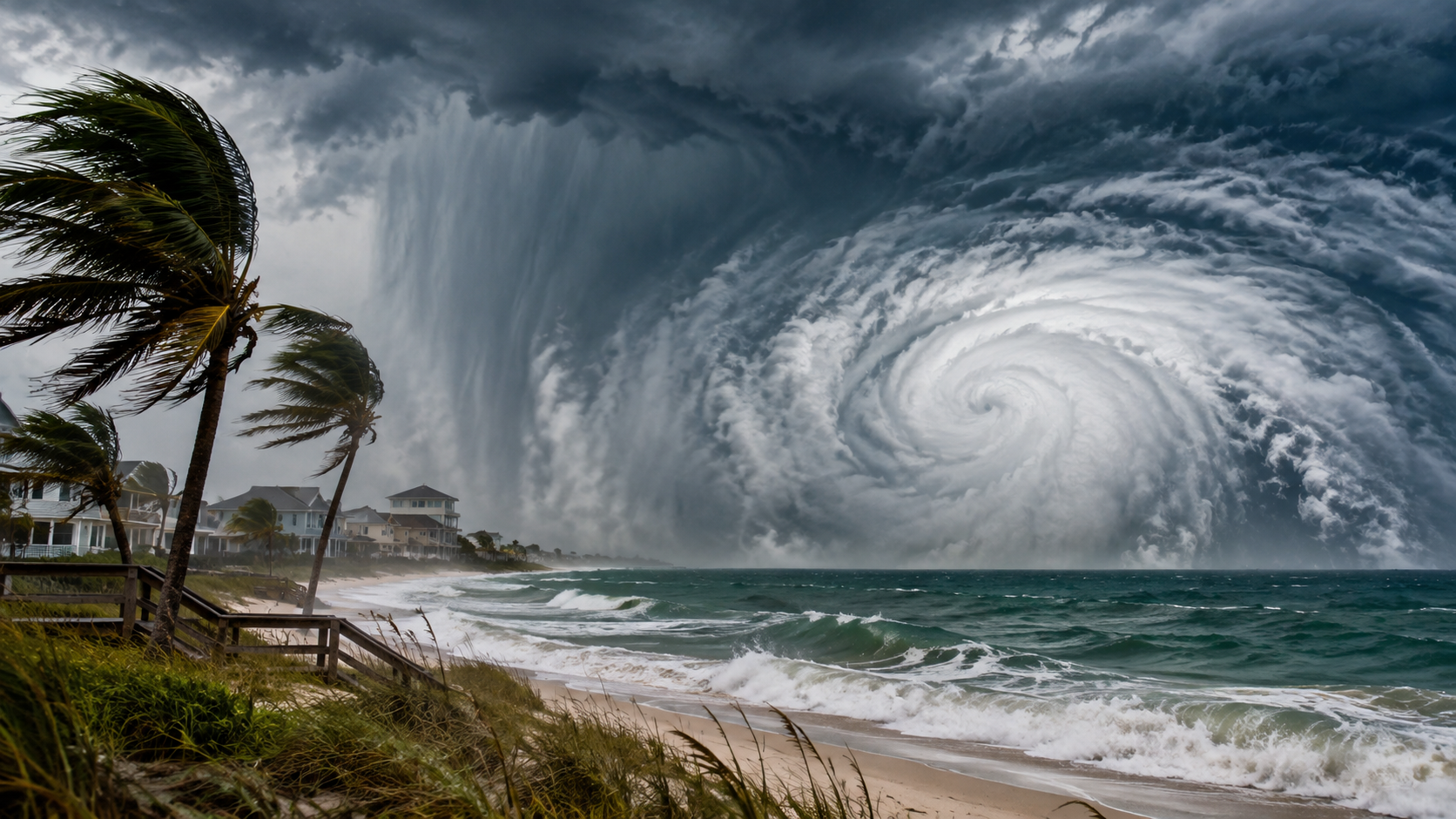
Every year, millions of people along the Gulf Coast watch the same ritual play out on their local news. A swirl of clouds forms somewhere over warm water, forecasters start naming it, and suddenly everyone from Brownsville to Tampa is checking the cone of uncertainty. If you live anywhere near this coastline, understanding a US Gulf Coast tropical storm is not optional knowledge. It is part of living well in a region shaped by water, heat, and weather that can turn serious in a matter of hours.
This guide breaks down what actually happens when a tropical storm forms in the Gulf, why this particular stretch of coastline is so prone to them, and what residents in each affected state should know before, during, and after a storm arrives. Instead of repeating the same generic tips you have probably already read, this article focuses on practical, state specific guidance you can actually use.
What Is a US Gulf Coast Tropical Storm
A tropical storm is a rotating system of thunderstorms with sustained winds between 39 and 73 miles per hour. It sits on the intensity scale between a tropical depression, which has weaker winds, and a hurricane, which starts at 74 miles per hour. When this type of system forms in or moves into the Gulf of Mexico and threatens the coastline stretching from South Texas through the Florida Panhandle, meteorologists and news outlets refer to it as a US Gulf Coast tropical storm.
These systems do not need to become hurricanes to cause serious damage. In fact, some of the most costly flooding events in Gulf Coast history came from storms that never grew stronger than tropical storm strength. Heavy, slow moving rain bands can dump more water on a region than a fast moving hurricane ever would.
The Gulf of Mexico acts almost like a greenhouse for these systems. Warm surface water, high humidity, and light wind shear during the summer and fall create ideal conditions for storms to strengthen quickly, sometimes within a single day.
Why the Gulf Coast Sees So Many Tropical Storms
The Gulf Coast is uniquely exposed for a few clear reasons, and understanding them helps explain why this region deals with tropical systems more often than many other parts of the country.
Warm, shallow water. The Gulf of Mexico heats up faster and stays warmer longer than the open Atlantic. Water temperatures above 80 degrees Fahrenheit are essentially fuel for tropical development, and the Gulf regularly holds those temperatures from June through October.
A semi enclosed basin. Because the Gulf is partially surrounded by land, storms that form there or enter from the Caribbean have limited room to weaken before reaching the coastline. There is less open ocean to disrupt their structure compared to storms moving across the wider Atlantic.
Hurricane season timing. The official Atlantic hurricane season runs from June 1 to November 30, with peak activity typically occurring between mid August and mid October. This overlaps directly with the months when Gulf waters are at their warmest.
Coastal geography. Low lying coastal plains across Louisiana, Mississippi, Alabama, and parts of Texas and Florida make it easier for storm surge and heavy rainfall to push inland, amplifying flooding even well away from the immediate shoreline.
How Tropical Storms Are Tracked and Forecast
The National Hurricane Center, based in Miami, is the primary authority for tracking Atlantic and Gulf tropical systems. Forecasters there rely on a combination of satellite imagery, radar, ocean buoys, and reconnaissance aircraft known as Hurricane Hunters that fly directly into storms to gather real time data on wind speed, pressure, and structure.
Forecast models fall into two broad categories. Statistical and dynamical models process atmospheric data to predict a storm’s path and intensity, while ensemble models run dozens of simulations to show the range of possible outcomes. This is where the familiar spaghetti models come from, the tangle of colored lines you often see in storm coverage.
It helps to understand that forecast accuracy improves the closer a storm gets to landfall. A five day forecast carries more uncertainty than a one day forecast, which is why the cone of uncertainty narrows and shifts as new data comes in. Checking updates every six hours during an active storm, rather than relying on a forecast from a day earlier, gives you the most accurate picture.
Understanding Watches, Warnings, and the Cone of Uncertainty
One of the most common points of confusion during a Gulf Coast tropical storm is the difference between a watch and a warning. Getting this right matters because it directly affects how much time you have to prepare.
A tropical storm watch means tropical storm conditions are possible within the area, typically within 48 hours. This is your signal to review your emergency plan and make sure supplies are ready.
A tropical storm warning means tropical storm conditions are expected within the area, typically within 36 hours. At this stage, final preparations should already be complete.
A storm surge warning is issued separately and indicates a danger of life threatening inundation from rising water moving inland from the coastline. Storm surge is consistently one of the deadliest hazards associated with tropical systems, so this warning deserves particular attention even if the storm itself seems weak.
The cone of uncertainty shown in NHC graphics represents the probable path of the storm’s center, not the full width of its impacts. Heavy rain, gusty winds, and even tornadoes can occur well outside the cone, which is why residents outside the direct forecast track should not assume they are in the clear.
State by State Risk Breakdown
Not every Gulf Coast state experiences tropical storms the same way. Local geography, population density, and historical storm patterns shape the specific risks each state faces.
Texas
The Texas Gulf Coast, particularly the upper coast near Houston and Galveston, is prone to extreme rainfall events. Because the region combines flat terrain with dense urban development, tropical storms here often cause widespread inland flooding rather than just coastal damage. Slow moving systems are the biggest concern, since they can sit over the same area for days.
Louisiana
Louisiana faces some of the highest storm surge risk in the country due to its low elevation and extensive network of bayous and wetlands. New Orleans, sitting partly below sea level, relies heavily on its levee and pump system during tropical events. Southern Louisiana also sees frequent landfalls simply due to its geographic position facing the central Gulf.
Mississippi
The Mississippi Gulf Coast, including Gulfport and Biloxi, is smaller in coastline length but still highly vulnerable to storm surge given its flat, low lying shoreline. Inland areas of the state often deal with heavy rainfall and flash flooding from storms that have weakened after landfall elsewhere.
Alabama
Alabama’s coastline is short but sits in a frequent landfall zone near the Mississippi and Florida borders. Mobile Bay can amplify storm surge, funneling water inland along the bay’s shape. Alabama also regularly experiences the outer rain bands of storms that make landfall in neighboring states.
Florida
Florida’s Gulf Coast, from the Panhandle down through Tampa Bay and into Southwest Florida, faces the broadest range of impacts of any Gulf state. The Panhandle sees frequent direct landfalls, while the peninsula’s Gulf side deals with both storms crossing from the Atlantic and systems developing in the Gulf itself. Rapid intensification close to shore has become an increasing concern in this region.
Common Impacts of a Gulf Coast Tropical Storm
While every storm behaves differently, most Gulf Coast tropical storms share a common set of hazards that residents should watch for.
- Heavy, sustained rainfall leading to flash flooding, especially in urban areas with poor drainage
- Storm surge pushing seawater inland along coastlines and tidal rivers
- Sustained winds capable of downing trees and power lines, leading to widespread outages
- Isolated tornadoes spun off from the storm’s outer rain bands, often with little warning
- Rip currents and dangerous surf conditions along beaches, even far from the storm’s center
It is worth repeating that wind speed alone does not determine how dangerous a storm will be. A slow moving tropical storm with modest winds can cause more damage through rainfall and flooding than a faster moving, stronger system that moves through quickly.
How to Prepare Before Storm Season
Preparation works best when it happens well before a storm is on the radar, not in the final 48 hours before landfall. Building a habit of readiness each spring, before hurricane season officially begins, makes the entire process far less stressful.
- Review your insurance coverage. Standard homeowners policies typically do not cover flood damage. If you live anywhere near the Gulf Coast, a separate flood insurance policy through the National Flood Insurance Program or a private insurer is worth serious consideration, and policies usually take 30 days to go into effect.
- Build a basic supply kit. Include enough water for three days per person, nonperishable food, medications, flashlights, batteries, a portable phone charger, and copies of important documents stored in a waterproof bag.
- Know your evacuation zone. Coastal counties assign evacuation zones based on storm surge risk. Look yours up now through your county or state emergency management website so you are not searching for it during an active warning.
- Plan for pets and family members with medical needs. Not all shelters accept pets, and medical equipment that requires power needs a backup plan in case of outages.
- Trim trees and secure loose items around your property. Falling branches and flying debris cause a significant share of storm related property damage and injuries.
What to Do During an Active Storm
Once a tropical storm watch or warning is issued for your area, the goal shifts from planning to execution. Fill your vehicle’s gas tank early, since lines and shortages often develop quickly as a storm approaches. Charge all electronic devices and keep them charged, since power loss can happen well before the worst of the storm arrives.
If local officials issue an evacuation order, treat it seriously even if the storm has only tropical storm strength. Storm surge and flash flooding, the two deadliest hazards in these events, do not require hurricane force winds to be dangerous.
If you are sheltering in place, stay away from windows during high wind periods, avoid using candles due to fire risk during power outages, and never drive through flooded roads. Just a foot of moving water can sweep a vehicle off the road, and roadway flooding remains one of the leading causes of storm related deaths.
Recovering After the Storm Passes
The period right after a storm passes carries its own risks. Downed power lines may still be energized even if the storm has moved on, so avoid contact with any fallen lines and report them to your utility company. Standing water can hide debris, chemical contamination, or structural damage to roads, so treat it with caution rather than convenience.
Document any property damage with photos and video before starting cleanup, since this makes the insurance claims process considerably smoother. If you evacuated, wait for official confirmation that your area is safe before returning, since reentry into damaged areas too early has led to injuries in past storms.
Community resources, including FEMA assistance programs, local relief organizations, and state emergency management agencies, are often available for significant storm damage. Checking your state’s official emergency management website in the days following a storm will typically point you toward the most current and accurate resources.
Conclusion
A US Gulf Coast tropical storm does not need to reach hurricane strength to disrupt lives, homes, and communities across Texas, Louisiana, Mississippi, Alabama, and Florida. The Gulf’s warm water, its semi enclosed shape, and the low lying geography of much of the coastline combine to make this one of the most storm active regions in the country.
Understanding how these storms form, what the difference is between a watch and a warning, and how risks vary by state gives you a real advantage when the next system starts to develop. Preparation is not about fear. It is about knowing your evacuation zone, having a basic supply kit ready, and paying attention to trusted forecasts rather than speculation. With that foundation in place, riding out storm season becomes a matter of following a plan rather than reacting in a panic.
Frequently Asked Questions
What is the difference between a tropical storm and a hurricane?
A tropical storm has sustained winds between 39 and 73 miles per hour, while a hurricane begins at 74 miles per hour. Both can produce dangerous flooding and storm surge regardless of wind speed.
Which Gulf Coast state gets hit by tropical storms most often?
Florida experiences the highest number of landfalls due to its long coastline and exposure to systems from both the Gulf and the Atlantic, though Louisiana and Texas also see frequent activity.
How far in advance should I prepare for a Gulf Coast tropical storm?
Ideally, before hurricane season begins each June. Waiting until a storm watch is issued leaves little time to secure supplies, insurance, or evacuation plans.
Can a tropical storm cause as much damage as a hurricane?
Yes. Slow moving tropical storms can produce extreme rainfall and flooding that causes more overall damage than a faster moving hurricane, even with lower wind speeds.
Where can I find official, accurate storm updates?
The National Hurricane Center website provides official advisories, forecast tracks, and warnings, and remains the most reliable source during an active Gulf Coast tropical storm.
